GPS Functional Applications
Geo Applications


GPS-receiver
GPS-receiver reduces the number of "dead zones" in high-rise urban areas

Route calculation
Route calculation based on traffic information

3G/4G
3G/4G (hands-free) mobile communication support

Geo Applications
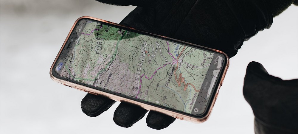
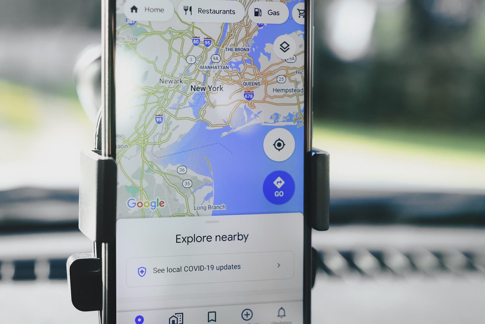
GPS receivers are now equipped with a variety of devices, including portable devices such as smartphones, tablets or laptops, and even fitness bracelets or smart watches. Combining GPS positioning capabilities with Google map services makes it possible to use satellite navigation techniques in commercial and custom geo-applications.
Quite simple technology of determining the geographical coordinates, as well as high accuracy and reliability of geopositioning opens up the options of using GPS navigation for a variety of purposes. GPS data will help the customer to find the nearest point of sale or necessary office, simplify the automatic formation of bills of lading in the CRM-system when sending goods from one of the company’s warehouses, facilitate joint training with friends and help not to get lost and even find friends in an unfamiliar city.
97%
Integrate & Extend
A+
Improve Sales


We Provide ROI Driven Search Engine Optimization
Easy way celebrate with our company. Changes sync to the designers can switch
There are many variations of passages of Lorem Ipsum duo available, but the majority have suffered alteration. Lorem ipsum dolor sit amet, consectetur adipisicing elit, sed do eiusmod tempor.
97%
Integrate & Extend
A+
Improve Sales
Develops Geo-Applications and integrate GPS-positioning mobile programs
Both special program solutions, where geopositioning and navigation are the main functions, and program solutions with different functionality can work in the format of geo-applications.
In the second case, Google services and determination of user coordinates create convenience and commercial advantages of a digital solution compared to competitors.

Geo-positioning
Is a key feature of any program using map services. Thanks to GPS and Google Maps, a geo-application can accurately fix the user's location on the map with an accuracy of only a few meters.

Finding Points of Interest
POI on the map is another key function of geo-applications. Services of such systems allow adding markers to maps, indicating the location of landmarks and other objects. It could be not only architectural monuments and museums, but also addresses of cafes, hotels, retail outlets, warehouses, advertising media, petrol stations, parkings, etc.
Boosts your business with Decent guidence and passion
Lorem ipsum dolor sit amet, consectetur lorem adipisicing elit, sed do eiusmodgna
Lorem ipsum dolor sit amet, consectetur adipisicing elit, sed do eiusmod tempor incididunt ut labore et dolore magna aliqua. Ut enim ad minim veniam lorem iosum duos.

Digital Marketing Analysis
Proin maximus dictum placerat lorem.

Conversion Rate Optimization
Maximus varius libero, dictum placerat.

Social Media Marketing
Varius libero, dictum placerat porun lora.
Any types of geo-applications. See How We Works
GPS FIX company develops geo-applications of different types, where it is possible to delimit user rights with access of different people to different program functions. For example, the cab ordering service assumes using the program in the role of the client, in the role of the driver and in the role of the administrator (business owner).


Main types of commercial geo-applications
The geopositioning function and the Google Map module can be added to any program that provides for georeferencing. Consider the options for using a geo-application.
Transportation services
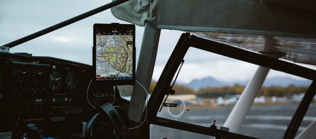
Transportation services, including navigation functions, tracking services, and congestion data, can be used to regulate traffic. This could include urban and intercity public transport, cab services, trucking, logistics, courier services, and even air, rail, and maritime services.
Tourist systems
Tourist systems open up opportunities for travelers to use geo-apps. Finding and booking hotels, booking excursions, creating quest scenarios – all this can be implemented in the program with the support of Google maps on the smartphone.
The sports and entertainment
The sports and entertainment features of geo-apps are applicable to joint and individual workouts, trekking, water travel, hunting, or fishing. In the app, you can mark a place to spend the night, a position for fishing, create a hiking route, and much more.
Commercial objects
Geo-positioning of commercial objects is applicable for finding the nearest store, cafe, warehouse or advertising media. This can be applied, for example, by the user to select a delivery point for a product or, as mentioned above, by a company employee to fill out a delivery note when shipping from the warehouse.
Latest Cases
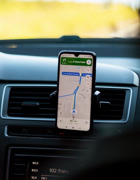
The navigator automatically updates traffic information and offers the driver the best route, taking into account traffic congestion.
Using Google Maps on Websites: 10+ Examples
Without a doubt, we’ve all come across and used Google Maps, a tool that enables us to locate desired places, obtain driving routes, and examine maps. However, for web designers, crafting websites centered around Google Maps can pose a significant…
A Guide to Incorporating Maps in Your Website Design
In the vast digital landscape, maps have emerged as an indispensable tool in website design. They serve not only as practical navigational aids but also enhance the overall user experience by providing visual context and promoting engagement. Whether it’s a…
GPS Beyond Navigation: Innovative Applications Changing Our World
In today’s rapidly evolving technological landscape, GPS, or Global Positioning System, has grown far beyond its initial purpose of simple navigation. Though many of us think of GPS in terms of mobile maps or car navigation systems, its applications have…
Navigating Real Estate: How GPS Functional Applications Are Changing the Game
In today’s digital age, the once-simple paper map has evolved into an intricate web of GPS functionalities. While GPS, or Global Positioning System, is often linked to in-car navigation or mobile maps for hiking, its applications have branched out into…
Chinese authorities require digital content stores to remove more than 100 apps
Chinese authorities have obliged digital content stores operating in the country to remove 106 mobile applications, including a client of the popular social network Douban. China’s Ministry of Industry and Information Technology (MIIT) said that the requirement to remove apps…
Check Out Some Clients Reviews And Their Experience
Building a route between two points is another basic feature of geo-apps. In the program, you can plot a route that is optimal for a pedestrian, bicyclist, or motorist. Such a feature is relevant not only for motorists or hikers, but also, say, for couriers who use bicycle delivery of goods.

Dejon Bartell
WEB DESIGNER

Marlon Bins
Marketing Agent

Katelyn Mann
Marketing Agent


